


Overview of Civil 3D Course Offerings
Combining both theoretical and practical aspects, Civil 3D training covers all essential tools and Civil 3D workflows essential for creating accurate designs and models.
What will you learn?
- Developing alignments, assemblies, and profiles
- Creating surfaces and terrain models
- Designing roads and corridors using the software tools
- Creating and managing surfaces and terrain models
- Building intelligent 3D models for transportation infrastructure projects like roads, railways, and highways
- Planning and designing stormwater and sewage drainage systems
- Creating and managing pipe and pressure networks
Tools and Software Discussed
- Autodesk Civil 3D
- AutoCAD
- Surface modeling tools
- Alignment tools
- Plan production tools
10 + Years of Training Excellence
4.4 ★

4.5 ★

4.5 ★

Civil 3D Training Course Syllabus
Civil 3D certification course includes the following topics in the syllabus:
Module 1: Interface and Navigation
 Understand toolspace, prospector, tool palettes, and panorama. Find out how to navigate the drawing area and the view controls.
- Learn how to use the command line and dynamic output, and work with Civil 3D toolbars and ribbons
- Have an overview of Civil 3D objects and styles. Study how to manage drawing settings and templates
- Know how to customize the Civil 3D workspace and create and manage object properties
Module 2: Working With Points
- Find out how to create and import COGO points. Learn how to set point styles and point labels.
- Study how to manage point description keys and import points from survey and external files.
- Understand the editing of point properties and elevations, the displaying and organising of points in the drawing, and controlling point visibility.
- Know how to export points for use in other applications and control label styles.
- Practical training
Module 3: Working With Surfaces
- Learn how to create TIN and Grid surfaces, and add point, contour, and breakline data.
- Study how to build surfaces from COGO points and survey data. Know how to edit and manage surface definitions
- Understand how to create and analyze surface contours, set surface styles and display modes, and generate surface profiles and sections.
- Find out how to compare existing ground and proposed surfaces and calculate cut-and-fill volumes.
- Hands-on sessions
Module 4: Working With Profiles
- Study how to create profiles from existing ground surfaces and design proposed profiles.
- Learn how to create and edit profile views, add and edit vertical curves, and set profile grades and elevations
- Understand how to work with tangents and design elements, apply profile styles and label sets, and analyze existing profiles.
- Know how to create profiles for road and infrastructure design and manage profile data and annotations.
- Practical classes in working with profiles
Module 5: Working With Assemblies and Subassemblies
- Learn how to create and configure road assemblies and work with subassembly parameters
- Study how to add lanes, curbs, shoulders, and sidewalks. Understand how to edit and customize assembly properties
- Become familiar with the management of assembly styles and codes. Discover how to create assemblies for different types of roads and road designs
- Understand the application of assemblies to corridor models. Find out how to use assemblies for effective roadway design
- Practical training with exercises
Module 6: Working With Corridors
- Discover how to create corridors using alignments, profiles, and assemblies. Find out how to set baseline and region parameters
- Learn how to manage corridor targets and frequencies and edit corridor regions.
- Study the creation and management of corridor surfaces. Know how to work with daylight and corridor feature lines.
- Understand the application of conditional subassemblies and the creation of corridor sections and section views.
- Find out how to update and rebuild corridor models. Study how to use corridors for road and infrastructure design.
Module 7: Working With Plan Production Tools
- Find out how to create plan sheets and set up view frames. Understand the creation and management of sheet templates.
- Study how to generate section and profile sheets and configure matchlines and sheet layouts.
- Learn about the management of sheet sets and sheet naming. Learn how to apply annotation and label styles
- Discover how to create multiple sheets from a single project and prepare construction-ready plan sets.
- Know how to publish and plot completed drawings
Module 8: Pipe and Pressure Networks
- Learn how to create gravity pipe networks for utility systems and how to create pressure networks for pipelines
- Study how to work with pipes, structures, fittings, and appurtenances. Learn about the management of parts lists, catalogues, and styles
- Find out how to work with pressure network paths and layouts. Know how to check connectivity and clearances
- Practical sessions in the preparation of networks for different infrastructure projects
The Importance of Civil 3d Certification Course
AutoCAD Civil 3D certification course provides practical skills in surfaces, assemblies, subassemblies, profiles, networks, and corridors. So, professionals like architects, engineers, and designers need to create precise designs and models using Civil 3D, an industry-standard infrastructure design software. Moreover, Civil 3D certification is important to take your career to the next level.
Why Learn a Civil 3D Program?
You should join Civil 3D training courses to:
- Gain expertise in Civil 3D BIM workflows
- Become proficient in creating accurate designs and intelligent models
- Acquire job-ready skills
- Improve technical knowledge
- To expand career options and gain an edge over others in the job market
Industry Demand for Skilled Civil 3D Professionals in Saudi Arabia
- City development under the Vision 2030 program. As a result, demand for professionals who have completed AutoCAD Civil training is high.
- Modern projects rely heavily on BIM and design workflows.
- AutoCAD Civil 3D plays a vital role in transportation projects.
Civil 3D Training Program Outcome
After completing Civil 3D classes, you will become an expert in creating accurate infrastructure designs and models for roads, highways, utilities, and water drainage. The course helps you to prepare plans, profiles, sections, and drawings efficiently and confidently. You will get a globally recognized certificate after completing the Autodesk Civil 3D course.
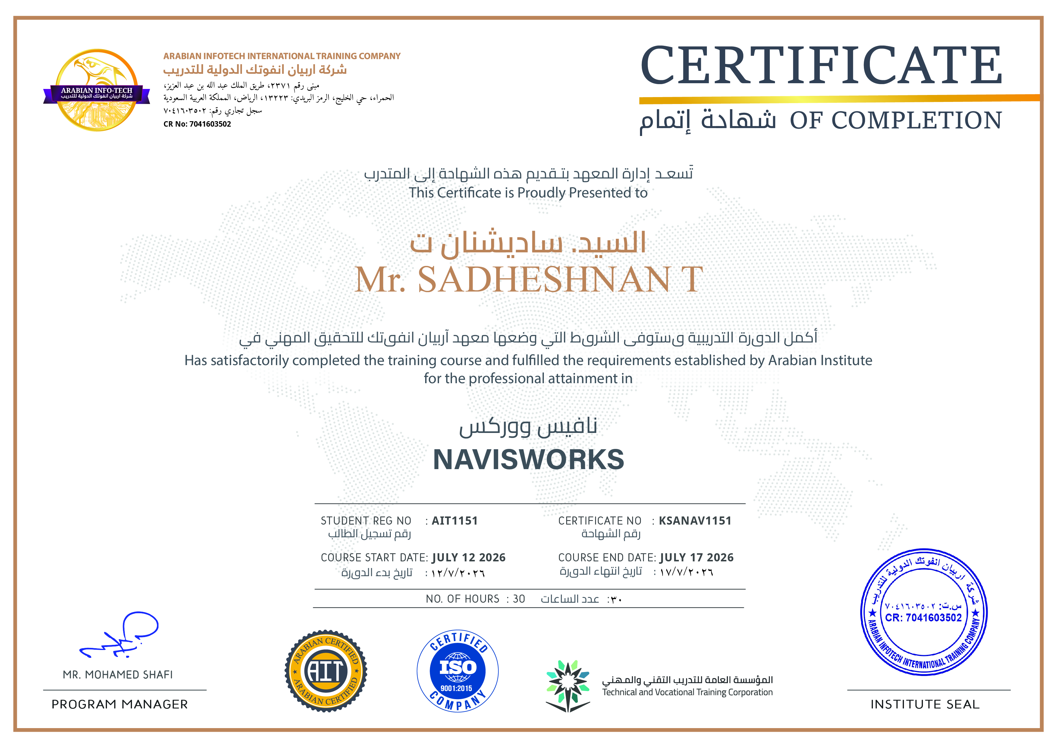
Why Choose Arabian Infotech Saudi Arabia for Civil 3D Classes in Saudi Arabia?
Arabian Infotech Saudi Arabia is popular for its short-term technical courses designed to upgrade the skills of working professionals and provide practical training to freshers. You should choose it for an Autodesk Civil 3D course in Saudi Arabia because of the:
- Comprehensive syllabus
- Experienced trainers
- Flexible schedules
- Career Support
- Globally recognized certificate
FAQs
What is Civil 3D used for?
It is used for creating accurate infrastructure designs and models for roads, highways, utilities, and water drainage. It is also used for planning, designing, and analyzing transportation projects and other utility projects.
Who can join the Civil 3D course?
The course is ideal for designers, architects, civil engineers, and construction professionals who want to improve their technical knowledge. It is also suitable for fresh graduates and students seeking practical skills.
What is the difference between AutoCAD and Civil 3D?
AutoCAD is a general tool used for 2D and 3D CAD applications, while Civil 3D is a specialized tool used for civil engineering projects like transportation.
Is prior BIM knowledge required for this course?
BIM knowledge is not mandatory. However, basic knowledge in AutoCAD and civil engineering would help you to understand the course better.
What career opportunities are available for Civil 3D training?
The career opportunities available after completing Civil 3D training include Civil 3D designer, Civil Design Engineer, infrastructure designer, road design engineer, Civil CAD designer, and land development designer.
How much does a Civil 3D course cost in Saudi Arabia?
The cost varies depending on the curriculum, institute, mode of learning, and the type of course. However, it may range from SAR 1000 to SAR 8000.
Related Courses

Learn how to design and manage construction projects efficiently and precisely.

Are you tired of making corrections and reworking your designs?

The BIM Program from Arabian Infotech is designed to take your career to the next level.
Student Reviews

Sajia
Professional Course
“The Autodesk Civil 3D course from Arabian Infotech, Saudi Arabia, was a game changer in my life. It took my civil engineering career to the next level. Now I am a part of a major roadway project. “

Rahman
Professional Course
“The trainers were amazing. They explained all topics clearly. They cleared my doubts patiently. It was of great help in improving my technical skills.“

Salman
Professional Course
“The course was well-structured. Practical sessions were extraordinary. Thanks to the trainers, I can handle complex infrastructure projects with ease and confidence. “

Courses parameters
 Instrutor: ArabianInfo Tech
 Duration: 8 weeks
 Frequency: Monthly
 Days: Weekend & Weekdays
 Language: English
 Certificate: Yes
Share On :
Ready to Become a
Certified MEP Engineer?
Don't miss out on this opportunity
for 100% practical training.
 Download Brochure
_
Post A comment